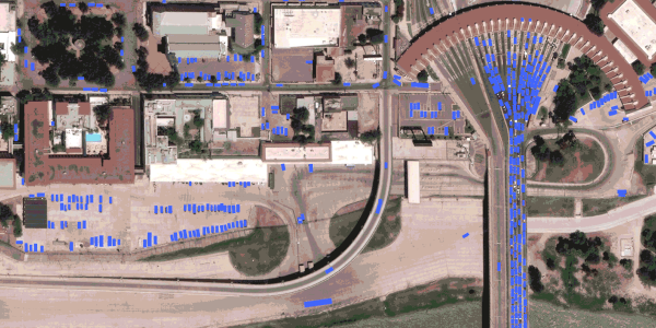
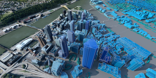
Maxar Geospatial Platform (MGP)
From imagery to insights: Map, monitor and analyze with MGP
From imagery to insights: Map, monitor and analyze with MGP
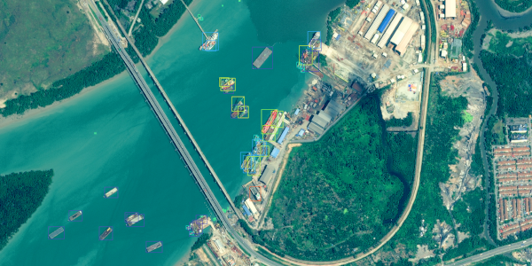
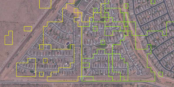
Discover, select and integrate the highest-quality geospatial data for your project or to power your products.
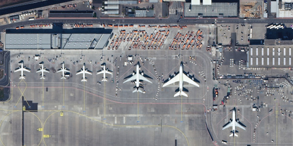
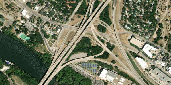
Whether you need to download or stream satellite imagery, 3D models, or advanced analytics, MGP has a solution to meet your most demanding geospatial challenges.

Browse, discover and buy high-resolution satellite imagery.

Subscribe to secure, on-demand access to Earth Intelligence.

Integrate with APIs, SDKs and plugins to power your apps.